Develo AI · Site feasibility — South Australia

What can be built on this land?

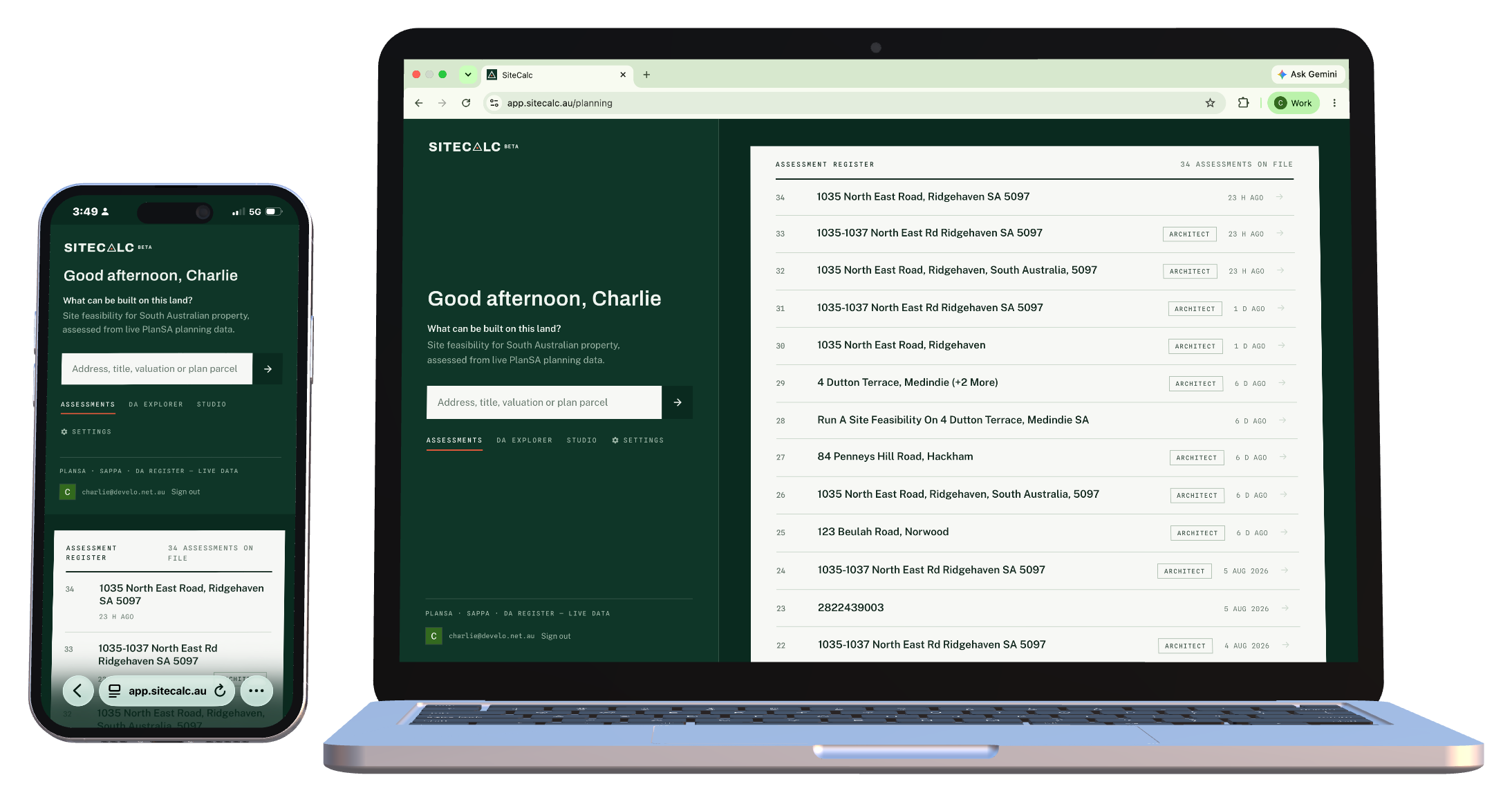
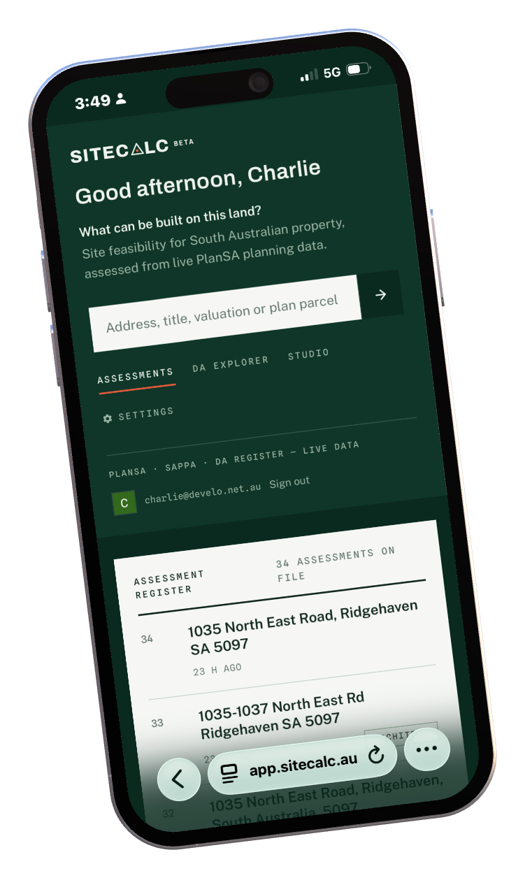
SiteCalc reads the register, measures the parcel and drafts the answer — a complete feasibility from live PlanSA data, in minutes, inside Claude.

FIG 00-A — LOT 42 IN D 12345 · DRAWN TO CONVENTIONNTS
PlanSA · SAPPA · DA Register — live data

Sheet SC-01 · Geometry

Measured, not estimated.

Parcel rings come straight from the cadastre and are measured spherically — not on a flat web map. At Adelaide’s latitude an uncorrected projection inflates a title by half its area again. SiteCalc strikes the distortion out and files the true figure.

Frontage 38.10 m Perimeter 129.00 m Segments 4
FIG 01-A — BOUNDARY DIMENSIONS, SPHERICALNTS

Sheet SC-02 · Planning & Design Code

The register, in full.

Zone, subzone and every overlay — with the assessment pathway for each dwelling type, retrieved live from PlanSA and cited to the Code. Where a deemed-to-satisfy pathway exists, SiteCalc reads the policy itself: site areas, frontages, setbacks, the numbers that decide yield.

DTS policy full text Source code.plan.sa.gov.au
ZoneGeneral Neighbourhood
OverlayAirport Building Heights (Regulated)
OverlayHazards — Flooding (General)
OverlayRegulated & Significant Trees
OverlayStormwater Management
PathwaysAccAcc·NDTSPAIA
Detached dwelling
Group dwelling
Row dwellingRECOMMENDED
Land division

Sheet SC-03 · Setbacks

Setbacks in. Buildable area out.

Set the distances the Code asks for. SiteCalc classifies each boundary from the road network — primary, secondary, side, rear — offsets every edge, and drafts the envelope. On a survey plan new work is drawn in red; SiteCalc keeps the convention. The envelope leaves as a layered DXF.

4.0 m
0.9 m
3.0 m
Envelope — proposed714
FIG 03-A — ENVELOPE AFTER SETBACKS · NEW WORK IN REDNTS

Sheet SC-04 · Topography

The ground, at fifty centimetres.

Metro-Adelaide LiDAR, cut to the title: contours, spot heights and a 3D terrain mesh, delivered as layered DXF for the drawing board. Site fall, driveway grades and cut-and-fill stop being guesses.

Grid 50 cm Vertical ±4.2 cm @ 95% CI Datum AHD · EPSG:7854
FIG 04-A — CONTOURS AT 0.25 M · LEVELS IN M AHDNTS

Sheet SC-05 · Development applications

Precedent, plotted.

Every decided application within two kilometres, classified and plotted by density — then the four strongest comparables read in full: conditions, referrals, timings, filed as a PDF review. What the council actually approves, not what the brochure says.

Radius 2.0 km Sorted same-zone first Measure dw/ha
FIG 05-A — DECIDED DAs BY DENSITY · SUBJECT MARKEDNTS

Sheet SC-06 · The verdict

Ask in Claude. File the answer.

  1. 01

    Connect

    In Claude: Settings → Connectors → add connector, and paste the address.

    https://mcp.develo-ai.xyz/mcp
  2. 02

    Ask

    “Run a site feasibility for 5 First Avenue, Nailsworth.” Any address, title, valuation or plan parcel in South Australia.

  3. 03

    File

    A typed report with yield scenarios, envelope and topography sheets — drawn to convention, ready for the architect.

Open claude.ai

6

Row dwellings — deemed-to-satisfy

Recommended maximum yield for the exemplar lot under the DTS pathway, before overlay variations. Proposed — so it is drawn in red.

Site 1 012 m² Min. lot 168 m² Density 59 dw/ha